
MAPIMPORT
- A command that imports external GIS (Geographic Information System) data files into the drawing.

1. Importing an External GIS File Demo Video
Section titled “1. Importing an External GIS File Demo Video”1) Type “MAPIMPORT” in the Command Input Window.
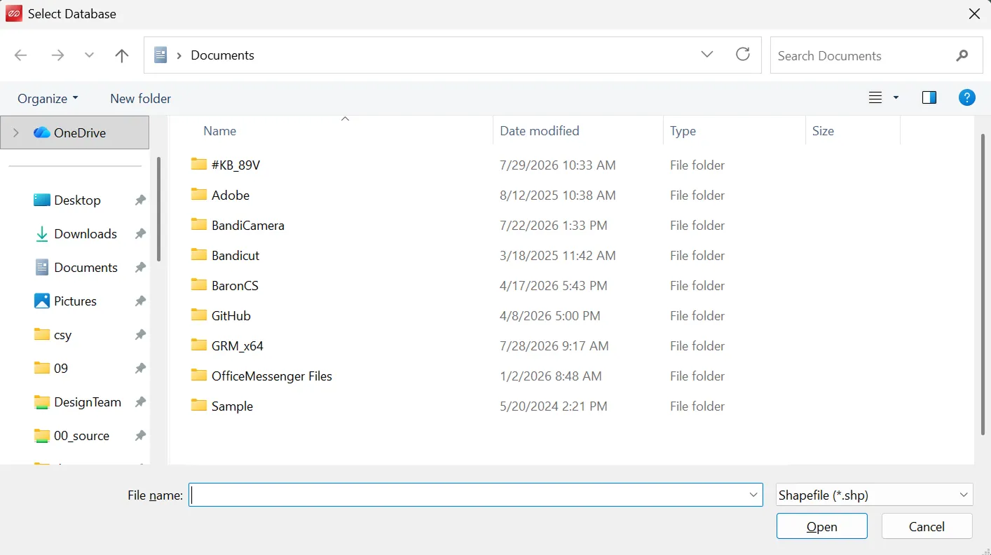
2) Select the GIS data file (SHP, SDF, SQLite, etc.) to import.
3) Select the desired file in the dialog box.
4) Click “OK” to import the data into the drawing.